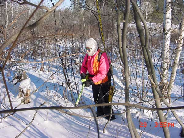


Houston, this is Earth Rover calling...
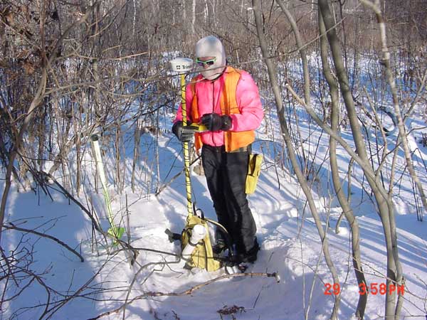
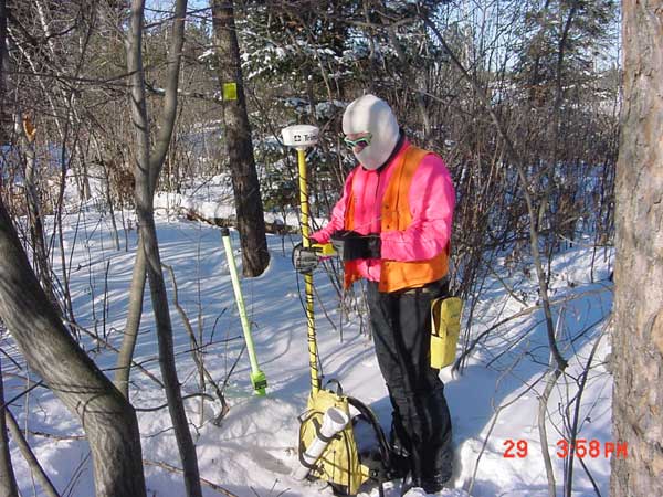
If while driving around the Reservation you come across some guy standing in the middle of the road staring back at you with green sunglasses wearing an orange vest (and during deer season a bright pink jacket) and holding a lime green light saber or a yellow backpack with a yellow pole and white antenna, you have just come across Earth Rover. Ok, maybe not. What you have come across is the GIS specialist, Tim Krohn, for the reservation collecting GPS data for government corners. Oh by the way, GIS means Geographic Information System or in laymen’s terms computerized map making and GPS means Global Positioning System. The equipment Tim is using is a metal detector for finding iron pins, pipes, or rods in the road or in the ground when off in the boonies. The GPS he uses is accurate to under 3 feet and when he massages the data in his office, the GPS data is accurate to about 1 foot.
The importance of collecting data accurate to this scale is to create accurate map layers for government corners, section lines, and property lines. Though this data is not of survey quality, it is good enough for many uses such as planning where to put new homes on the reservation. Many people are moving back to the reservation creating a demand for new homes. Currently, there is not a comprehensive map showing the location of existing leases and accurate land ownership. Tim’s major project is to develop this comprehensive map accurate to about 1 foot for all landowners and leasees on the reservation. This means working with BIA, Carlton Co., and St. Louis Co, to get legal descriptions for all the parcels within the reservation boundaries. Once obtained, the legals need to be drawn following survey procedures. There are times when parcels overlap or the legal descriptions are poorly written. These problems make the work interesting in how to fix them.
Wetlands also affect where homes can be sited. The GIS has a data layer of wetlands that is used with the ownership layer to show the housing planners where new property leases and homes can be appropriately sited. We can quickly eliminate the wet areas that will cause flooded basements and failed septic systems.
Earth Rover in Action!